Outdoors · Updated 2026-11-21
Best Trail Map Apps (2026)
Six trail apps ranked on finding the right route and keeping you on it once the signal drops. AllTrails leads for day hikers; Gaia GPS and CalTopo serve those heading farther out.
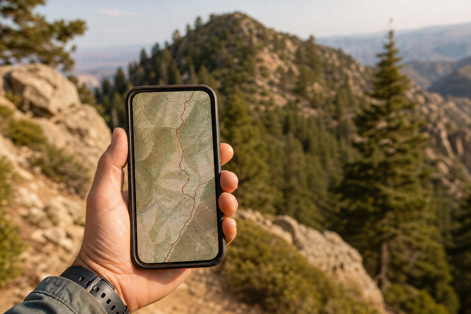
A trail map app has two duties: helping you pick a route you can finish, and keeping you on it after the phone loses signal. Few apps do both equally well, and the offline part is nearly always the part you pay for. Six apps were compared on what they charge, what their store pages and privacy labels disclose and what their makers document, and the scores that follow are the editors' own, set on the Canyon rubric. AllTrails comes first for trail discovery and an easy start; Gaia GPS and CalTopo are the stronger navigation tools for longer, less-marked routes.
AllTrails8.4/10
Best for: day hikers choosing a trail and following it
AllTrails has the largest trail catalogue in this group, each route listed with difficulty, length, elevation and recent visitor reviews, and its filters make choosing quick. Offline maps and off-route alerts need a paid plan, and community-contributed routes vary in quality, so a land manager's notice should always outrank a review.
What works
- Huge trail catalogue with recent reviews and photos
- Filters for length, elevation gain, dog-friendly routes and more
- Paid plans add offline maps and wrong-turn alerts
What doesn’t
- Offline maps are not in the free tier
- Some community routes follow unofficial or closed paths
Price: Free tier; AllTrails+ and Peak vary by plan/region Platforms: iOS, Android, Web Developer site
Gaia GPS8.2/10
Best for: backpackers who need layered maps and solid offline navigation
Gaia GPS lets you stack topographic, satellite and land-use layers, download large areas for offline use and record tracks you can export as GPX. That depth is the reason to choose it and also the reason newcomers struggle; the useful layers and offline downloads belong to Premium.
What works
- Many map layers, including topo and satellite
- Large offline downloads with Premium
- GPX import and export
What doesn’t
- Most layers and offline use need Premium
- Dense interface for first-time users
Price: Free tier; Premium varies by plan/region Platforms: iOS, Android, Web Developer site
CalTopo8.0/10
Best for: planners who build routes on a computer first
CalTopo is the planning desk of this list: slope-angle shading, custom layers, elevation profiles and paper maps printed at a chosen scale, with a companion app for the field. Search-and-rescue teams rely on it for good reason. It asks more of you than any other app here, and its phone app is functional rather than friendly.
What works
- Slope-angle shading for avalanche-terrain planning
- Prints paper maps at a chosen scale
- Shared maps for teams and trip partners
What doesn’t
- Steep learning curve
- Many offline and layer features need a paid plan
Price: Free account; paid plans vary by plan/region Platforms: iOS, Android, Web Developer site
onX Backcountry7.7/10
Best for: hikers and skiers who read terrain in 3D
onX Backcountry pairs a large trail database with 3D maps, offline downloads and avalanche-terrain layers. It is polished and capable, but its trail data is richest in the US and Canada, and the most useful tools live in the paid tiers.
What works
- 3D terrain view for reading a route before you go
- Slope and avalanche-forecast layers for winter trips
What doesn’t
- Trail data is strongest in the US and Canada
- Offline maps and key layers are paid
Price: Free tier; Premium varies by plan/region Platforms: iOS, Android, Web Developer site
Komoot7.5/10
Best for: hikers and cyclists planning routes in Europe
Komoot plans routes by sport — hiking, road cycling, gravel, mountain biking — reads surface types along the way and then guides you turn by turn. It syncs routes to many GPS watches and bike computers. Offline maps depend on buying regions or subscribing, and its ownership changed in 2025, so plan terms are worth rechecking.
What works
- Sport-aware routing with surface and difficulty details
- Voice turn-by-turn navigation
- Sends routes to Garmin, Wahoo and other devices
What doesn’t
- Offline maps need purchased regions or Premium
- Plan terms have shifted since the 2025 change of ownership
Price: Free tier; regions and Premium vary by plan/region Platforms: iOS, Android, Web Developer site
Organic Maps7.2/10
Best for: budget hikers who want free offline maps with no account
Organic Maps is a free, open-source map built on OpenStreetMap, with offline downloads, hiking paths and contour lines, and it asks for no account and shows no ads. What it lacks is trail context — no reviews, no conditions, no web planner — and route quality depends on how thoroughly volunteers have mapped the area.
What works
- Free offline maps with no account, ads or tracking
- Shows hiking paths and contour lines
What doesn’t
- Trail accuracy varies with local OpenStreetMap coverage
- No trail reviews, conditions or web planner
Price: Free Platforms: iOS, Android Developer site
The short version
Pick AllTrails to choose a day hike, and pay for its offline maps if you walk beyond phone coverage. For multi-day or off-trail routes, Gaia GPS is the field app and CalTopo the planning tool; Organic Maps is the right free backup on any phone.
Questions we get
Do I need a paid plan for offline trail maps?
In most of these apps, yes. Organic Maps is the exception, with free offline downloads; for the others, offline maps are the main thing the subscription buys.
Is a phone enough for backcountry navigation?
It can be, with downloaded maps, a charged power bank and a plan for a dead battery. On remote routes carry a paper map and compass too; CalTopo can print one at a usable scale.
Why is AllTrails first if serious hikers prefer Gaia GPS?
Most readers are choosing day hikes, and AllTrails is better at that job and easier to start with. Gaia GPS scores higher on map depth but gives ground on onboarding.
Can I move routes between apps?
GPX files are the shared format. Gaia GPS and CalTopo both document GPX import and export; other apps vary, and some limit exports to paying members.
How far can I trust crowd-sourced trail reports?
They are a useful signal and an unreliable authority. Recent reviews can flag mud, snow or a washed-out bridge, but closures and fire restrictions come from the land manager, so check its website before you set off.
Scores follow the Canyon rubric. Prices were checked on the date above; app pricing changes often. Written by Marisol Ibarra.